


Latest News
Water Levels - update
- we have been advised by TSW that the power generating station at our outlet dam has been shut down to maximize our water conservation
- the latest drawdown forecast shows an improvement from the previous forecast - https://parks.canada.ca/lhn-nhs/on/trentsevern/info/infonet/rabattement-drawdown-forecast
Dysart Encroachment Bylaw
- a reminder received from Dysart regarding winter storage
- "According to the Dysart Et Al Encroachment By-law, it is prohibited for any private installations such as docks to be placed on public lands without proper authorization.
This includes but is not limited to public beaches and boat launch areas, which are meant to be accessible to all residents and visitors alike year round. We strongly urge all members and property owners to review the Encroachment By-law and respect public spaces by ensuring any personal property is removed from these areas promptly."
FOCA Update
- FOCA e-news Sept 2025 - click here
NOTE - TSW has just issued its latest 2-week drawdown forecast. It is showing a Drag/Spruce water level for Oct 5 projected to be 10 inches lower than our annual minimum. Assess the impacts to your boats/ docks/ water intakes.
Water level graph - https://www.pc.gc.ca/apps/waterlevels/donnees-data?Id=41&lang=en&siteId=100419
Drawdown forecast - https://parks.canada.ca/lhn-nhs/on/trentsevern/info/infonet/rabattement-drawdown-forecast
Hope for more rain.
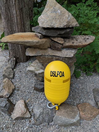
In keeping with our obligations with Canada’s Private Buoy Regulations under the Canada Shipping Act, this is to notify that the 10 hazard buoys in Spruce Lake and Outlet Bay (HR4 through HR8, HT1 thru 5) have been removed for the season. They have been replaced with lower profile white markers. Once again, thanks to Gary Hunt for volunteering.
A further update will be provided once the Drag Lake buoys have been removed.
If your boat is still in the water, be vigilant. The current water levels extremely low for this time of year.
Key Links
Land Acknowledgement
We respectfully acknowledge that the County of Haliburton is located on Treaty 20 Michi Saagiig territory, and in the traditional territory of the Michi Saagiig and Chippewa Nations, collectively known as the Williams Treaties First Nations, which are Curve Lake, Rama, Hiawatha, Alderville, Scugog Island, Beausoleil and Georgina Island First Nations.
We acknowledge a shared presence of Indigenous nations throughout the area, and recognize its original, Indigenous inhabitants as the stewards of its lands and waters since time immemorial.